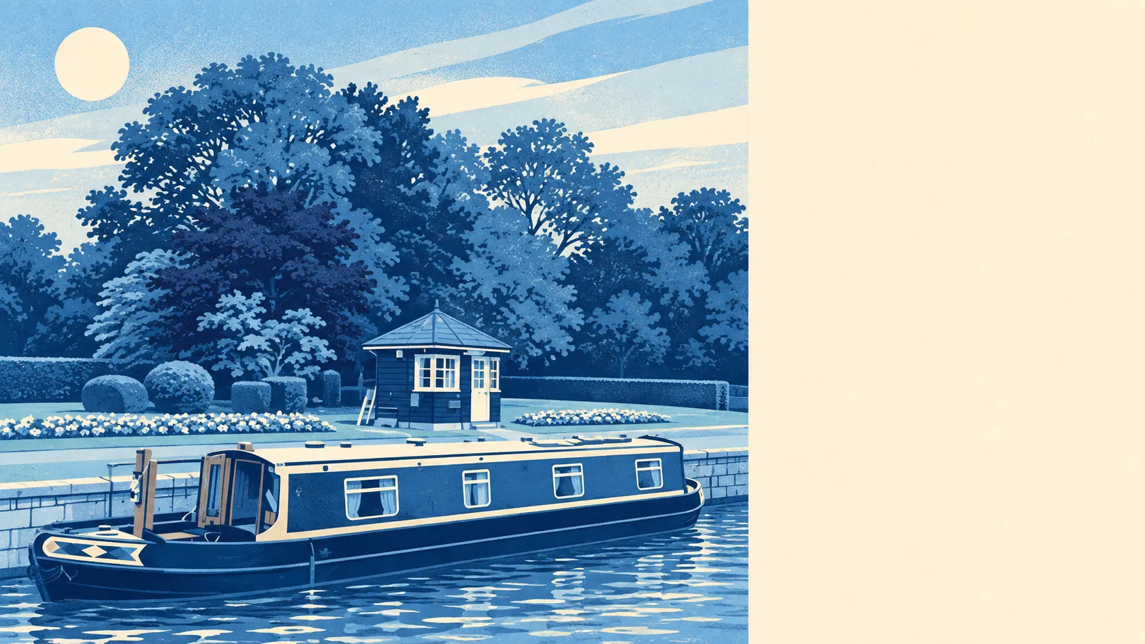
The area around Shepperton is the Thames with a village attached, and the surroundings are the best thing about it. Green space is a couple of minutes from most front doors. Open water is barely further. The islands in the river all have names. Nobody in Shepperton has to drive anywhere to find a view.
The nearest public green space is about 160 metres from the average Shepperton home, and there are around 17 green spaces within a kilometre. That is less a park on the edge of the village than green space at the end of most roads, with Shepperton Green, Hamm Moor and the commons around Littleton and Upper Halliford in the mix.
Open water is about 230 metres from the average home, with roughly 53 bodies of water within a kilometre. The Thames accounts for the obvious ones, and the lakes, ponds and channels around it account for the rest. Pharaoh's Island, Lock Island and Hamhaugh Island sit in the stretch by the village, Penton Hook is upstream, and Chertsey Meads and Wey Meadows open out on the far bank. In this village, the Thames is a crowd of islands, each with its own name.
The National Cycle Network is about 920 metres from the average home, and about 15% of postcodes are close to it. The towpath is the obvious route for anyone on foot. There is no ancient woodland within the area, so the walks follow water and open meadow, not old forest.
Across the wider postcode area, the ratings data counts 404 shops, 24 pubs and 16 restaurants. That covers more than the village, but it gives the flavour: plenty of shops, a steady pub count, and a smaller number of places to sit down and eat. The pub is more firmly established here than the restaurant.
Fine-particle air pollution across Spelthorne averaged 7.9 micrograms per cubic metre in 2024. That is a council-wide figure, covering busier roads than the riverside lanes.
The character comes from water and the edges of bigger places. Walton-on-Thames is across the river to the south, Sunbury-on-Thames and Kempton Park are to the east, and Chertsey is upstream to the west. Oatlands Park and Burwood Park are a short drive over the bridge. Shepperton is a small place with plenty of larger neighbours to use, and it rarely has to provide everything itself.
Private outdoor space matches the public kind. The Office for National Statistics' garden measure gives Shepperton about 112,000 square metres of private garden for every 1,000 residents, and all six statistical areas in the village are covered by it. With bungalows and semis making up so much of the housing, a back garden is normal here, not a selling point.
The valuation list records 178 rateable business premises in Shepperton, of which 70 are shops and 14 are offices, with the rest spread across smaller categories. These are premises on the list, which is a different thing from businesses currently trading. Most of them are shops, and the rest is a short tail.
Of the 53 food outlets with a hygiene rating, 87% hold the top score and about 2% are at the low end. Shepperton eats out at a modest number of places, and nearly all of them are clean.
No protected landscape overlaps Shepperton. The Environment Agency and Natural England records show no area of outstanding natural beauty, no site of special scientific interest and no ancient woodland. Its landscape is a working river, open green space and gardens, with no designations to restrict what happens on it.
The surroundings are one of Shepperton's real strengths, with green space and water closer to the door than in most places within reach of London. The river does more for village life than any other feature.