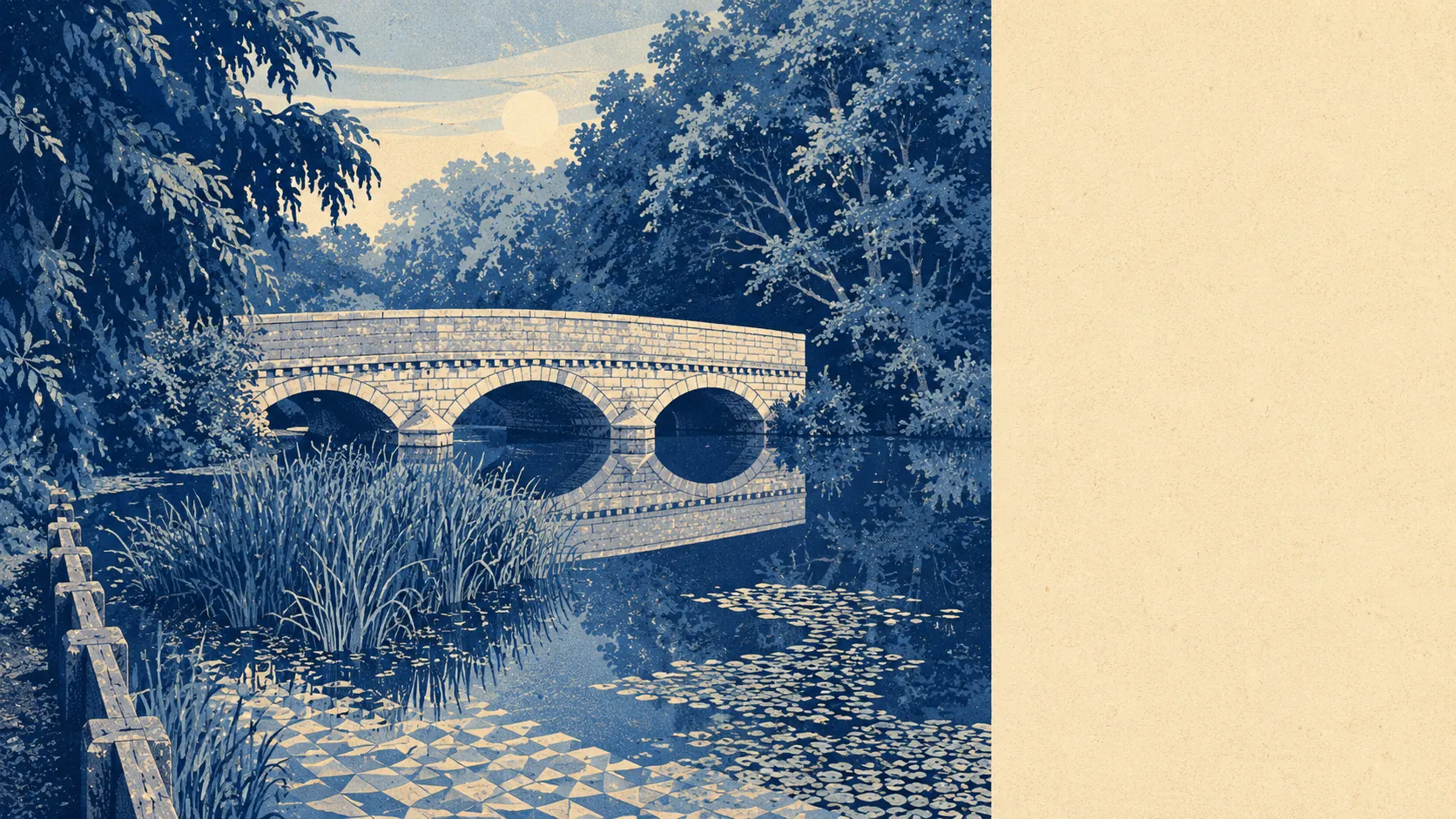
Green, wet, and quietly enormous. Open ground starts a couple of hundred metres from most front doors. Water is everywhere, in more forms than most people expect. Heath on one side, forest on another, and a river running through the middle of it. The surroundings are the reason people tolerate everything else about living here, and they are not a small compensation.
Green space access is close to as good as it gets in England. Ordnance Survey greenspace mapping puts an average of about 17 open spaces within a kilometre of a postcode here, with the nearest averaging around 180 metres away. That is not a park you drive to at the weekend. That is a gate at the end of the road, and it explains why the dog population feels like a demographic in its own right.
Water is even more abundant than the greenery. The nearest blue space averages about 390 metres from a postcode, with roughly 37 separate water features within a kilometre. The Avon accounts for some of it. The rest is a landscape of ponds, streams and flooded workings, including the quarry lakes that now occupy the old wartime airfield site at Ibsley, which spent a stretch of its middle age as a motor racing circuit before the water arrived.
For getting out into it under your own power, the National Cycle Network sits about 1,030 metres away on average, with around 30% of postcodes close to a route. Given the road situation, cycling here is more of a leisure decision than a commuting one, which the numbers on how people actually travel confirm.
The commercial fabric is a proper market town rather than a village. The valuation list carries 771 rateable premises across the area, including 246 shop units, 192 offices, 19 pubs and 16 restaurants, alongside 56 holiday lets. Those are premises on a list rather than businesses currently trading, so treat them as the shape of the place rather than a directory. What the shape says is a town centre that still functions as one, with a working commercial base behind it rather than a strip of estate agents and charity shops.
On air, fine particle levels for the council area averaged around 6 micrograms per cubic metre in 2024. That is a district figure covering a very large rural area rather than a reading from the high street.
The texture changes fast once you leave the middle. Poulner sits to the east and functions as the town's second half. Hightown, Crow, Kingston and Bisterne are hamlets rather than suburbs. Blashford and Moortown sit north and south along the valley, and Ashley Heath, St Leonards and Burley spread west and south into the heath. Ancient earthworks sit in the ground across the heathland, including bowl barrows on the commons and a hillfort at Castle Hill, which are the sort of thing you walk past without noticing until somebody points at the lumps. Moors Valley Country Park sits on the edge of Ashley Heath.
Private outdoor space is where the numbers stop being polite about the difference from a city. Ordnance Survey garden mapping records roughly 238,000 square metres of private garden per 1,000 residents across the ten neighbourhood areas covered. That is garden, not parkland, not verge, not the forest. People here have their own outdoor space and a great deal of it, which is the single fact that explains most of the town's housing stock.
For eating out, 107 premises carry a food hygiene rating, and about 75% hold the top score of five. Around 3% sit in the lowest bands. That is a solid picture rather than a spectacular one, and the ratings are published per premises for anyone who wants to check before booking.
Worth saying plainly: none of this land carries a protected-landscape designation. No area of outstanding natural beauty overlaps the area, no site of special scientific interest, and no ancient woodland. The green here is working countryside, common land and gardens rather than officially designated landscape, which changes nothing about the walking and quite a lot about what could theoretically be built on it.
The setting is the best thing about Ringwood by a distance, and it is not close. Somewhere between the river, the heath and the gardens, the town solved the outdoor question so thoroughly that everything else became a detail.