Green, and far closer to hand than anywhere with a postcard reputation. Open space sits within a couple of minutes' walk of nearly every front door. Water is barely further. The coast is a short drive rather than a view somebody charges you for. None of it carries a designation announcing that it is special, which is precisely why the crowds are in St Ives and Truro instead.
The green space access is the standout figure on this page. The average postcode has around 19 separate green spaces within a kilometre, with the nearest averaging about 155 metres away. That is not a park you drive to at weekends, it is open ground at the end of the road, which in a town of terraces with back yards rather than gardens does a great deal of work.
Water is close too. The average postcode sits about 390 metres from its nearest blue space, with around 16 within a kilometre, which reflects a landscape shaped by streams that once served mine workings rather than by anything ornamental. The sea is a separate matter: the nearest coast is about 4 kilometres away at the closest point, so this is a town near the sea rather than on it, and Portreath is where people go when they want the actual thing.
For getting out into it under your own power, the National Cycle Network averages about 600 metres from a postcode, and about 50% of postcodes sit close to it. Half the town is within easy reach of a traffic-free route and the other half is not, which is the sort of split that decides whether a bike lives in the shed or in the hall.
The high street is a proper one rather than a parade. The rating list records 215 shop premises, 31 pubs and 11 restaurant premises across the area. Thirty-one pubs is a serious number for a town this size and tells you more about how this place was built than any heritage plaque does.
On air quality, fine particulate levels for the Cornwall council area averaged about 5.1 micrograms per cubic metre in 2024. That is a council-wide figure rather than a street-level one, and it is the sort of number that only becomes interesting somewhere with a motorway through it.
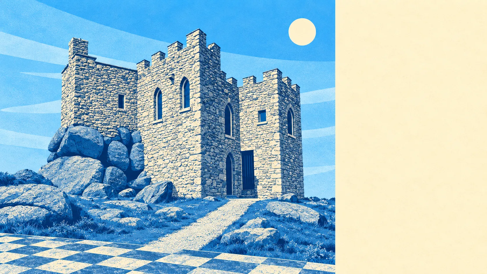
The character comes from the ring of former mining settlements rather than from the town alone. Carn Brea rises over everything, with its Neolithic hilltop enclosure, medieval castle and mine workings stacked into one hill. Plain-an-Gwarry carries the old wrestling ground that gave it its name. Out in the lanes sit St Day, Carharrack, Lanner, Four Lanes, Gwennap and Stithians, with Gwennap Pit among them, and each kept its chapel and its pub while the mining money went elsewhere.
Private outdoor space works out at about 130,000 square metres of garden per 1,000 residents, which for a town centred on terraced housing is more than the streetscape suggests. The bungalow estates and the village fringes carry most of it, and it is a useful corrective to the assumption that terrace means yard and nothing else.
Across the wider rating list there are 760 rateable premises, including 262 offices and 150 holiday lets alongside the shops and pubs. These are premises on the valuation list rather than businesses currently trading, so read them as the shape of the place rather than a directory. The holiday-let count is the quiet signal that the visitor economy has found the edges of this area even if it has not yet found the town centre.
Eating out is reliable, at least on the paperwork. Of 84 rated food premises, about 91% hold the top food hygiene score, and none sit at the bottom of the scale.
One honest absence: no area of outstanding natural beauty, no site of special scientific interest and no ancient woodland overlaps this area at all. The countryside here is working countryside rather than protected countryside, which means no designation adds constraints to what you own, and no designation is drawing anyone here either.
The surroundings are the strongest thing this area has: green space within a walk of almost everyone, water close, a hill with three thousand years of history on it, and a coast twenty minutes from the kettle.