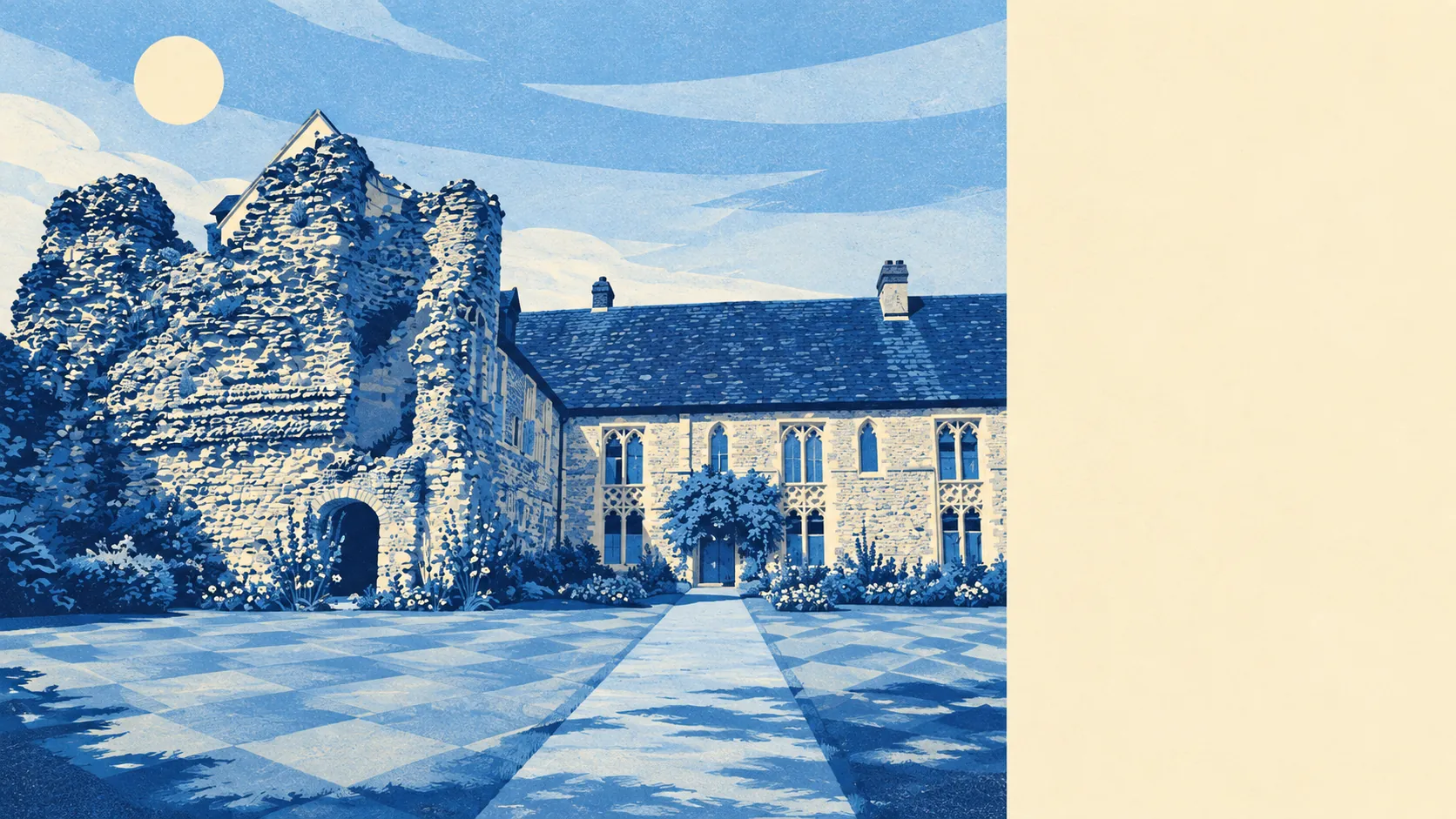
The area around Minster-in-Thanet is open, green and roomy, with a park at the end of most roads and water a short walk further. Green space sits a few minutes from most doors. Water turns up closer than people expect. The private gardens are big. Nobody has designated any of it as special, which is exactly why nobody minds you walking the dog across it.
The nearest public green space sits about 270 metres from the average home, and there are around six within a kilometre. That is the kind of access town-dwellers pay extra for and villagers stop noticing.
Water is close too. The nearest blue space, meaning a river, pond, stream or stretch of coast, sits about 530 metres away on average, with around 17 within a kilometre. The low-lying land towards the south of the parish is stitched with drainage channels, so "near water" here means dykes and ditches as often as anything scenic.
Getting further out takes more effort. The National Cycle Network is about 2.9 kilometres from the average home, and no postcodes sit close to it, so a proper cycle ride starts with a short stretch of road. There is no ancient woodland in the area. The landscape is farmland, open sky and hedgerow rather than forest.
Private outdoor space is generous. Across the area there are about 168,000 square metres of garden for every 1,000 residents, which is a measure of how much ground people have behind their own back door. For the many detached houses and bungalows here, that means a proper lawn rather than a patio with ambitions.
The wider rating area's premises include 679 shops, 50 pubs and 68 restaurants, plus 373 offices and 152 holiday lets. Those numbers cover a broader area than the village itself, which has a high street scaled to its size rather than to its neighbours. On the valuation list for the area itself, there are 486 rateable premises. These are premises on the rating list, not a count of businesses trading this week, so a listed shop unit is a building with a rateable value, not a promise of a pint of milk.
Eating out is a safe bet on hygiene. Of the 45 rated food premises, 93% hold the top five-star score, and none sit in the low bands. The kitchens are cleaner than the menus are adventurous.
The air is clean by English standards. Fine-particle pollution across the Thanet council area averaged about 7 micrograms per cubic metre in 2024, a council-area figure rather than one measured on any particular street.
The character comes from what sits around the village. Minster Abbey anchors the old centre, Draper's Windmill stands a short drive north, and St Augustine's Cross marks the landing spot the parish has been dining out on for over a millennium. Monkton and Sarre sit to the west along the edge of the old Isle, with Cliffs End and Pegwell towards the coast and Manston inland. The surrounding fields hold scheduled Anglo-Saxon cemeteries and ring ditches, so the land has been farmed and buried in for longer than most places have had names.
There is no protected landscape overlapping the area: no area of outstanding natural beauty, no site of special scientific interest and no ancient woodland. That is not a fault. It means the countryside around Minster is working land rather than a postcard, and nobody is laminating signs about where to stand.
The surroundings are one of Minster-in-Thanet's real strengths: green space on the doorstep, big gardens behind the houses, and open country that asks nothing of you except to walk across it.