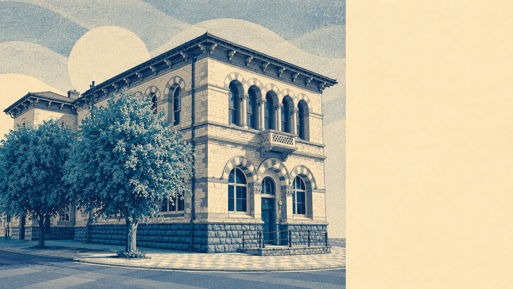
Green, wet, and completely undecorated by officialdom. Green space starts about a cricket pitch from most front doors. Water is barely further. There is no protected landscape designation anywhere across it. This is countryside that nobody has framed and hung on a wall, which is exactly why it still functions as somewhere to live rather than somewhere to visit.
The green space access is the standout. Around 22 separate green spaces sit within a kilometre of the typical postcode, at an average distance of around 150 metres. That is not a park you drive to. That is a town where stepping outside and finding grass is the default rather than an outing, and where the old industrial ground has been left to go green rather than built over.
Water is nearly as close. The average distance to blue space is around 260 metres, with around 33 separate water features within a kilometre. Two rivers meeting near a town will do that: the Somer runs down through the middle and the Wellow Brook joins it a short way east, and the valleys they cut are the reason the town has the shape it has.
For getting properly out into it, the National Cycle Network runs at an average distance of around 425 metres from postcodes here, and around 65% of postcodes sit close to it. There is no ancient woodland recorded in the area at all, which is what happens when a landscape spends two centuries being reorganised around coal.
The high street is a working one rather than a destination. The rating list carries 210 shop premises, 49 pubs and 14 restaurant premises across the area, alongside 220 office premises and 46 holiday lets. Those are rateable premises on the valuation list rather than businesses currently trading, so treat the count as capacity rather than a directory. Across 422 rated hereditaments, the largest single categories are shops and offices, which is the profile of a town that services itself instead of servicing tourists.
Air quality is unremarkable in the good way. Fine particle levels across the Bath and North East Somerset council area averaged around 6 micrograms per cubic metre in 2024, which is a council-area figure rather than a street-level one.
The character of the surroundings comes from the industrial leftovers as much as the fields. The conical shape of the Old Mills batch still overlooks the town, a spoil heap that has outlasted the industry that made it. Silver Street Local Nature Reserve occupies the grounds of a Georgian mansion built by a coal-owning family and demolished in the late 1930s, and now holds broadleaf woodland, ponds and a restored nineteenth-century wellhead. The villages around, Welton, Westfield, Chilcompton, Clandown, Stratton-on-the-Fosse and Ston Easton among them, are close enough that the boundaries between them are administrative rather than visible.
Private outdoor space is generous in a way the public figures do not capture. Gardens run to around 119,000 square metres per thousand residents across the area. In practice that means the typical house here has a proper garden rather than a yard, which is the single biggest difference between this and anywhere the same money buys in Bath.
For eating, 85 premises hold a current food hygiene rating, of which around 69% carry the top score of five and around 6% sit in the bottom bands. That is a fairly ordinary spread and no reason to change your plans either way.
One honest absence is worth stating. No area of outstanding natural beauty overlaps this area, no site of special scientific interest, and no ancient woodland. The Mendip Hills are the horizon rather than the address. What that means practically is that the landscape here has no designation-driven protection and no designation-driven tourism, and the countryside stays the sort you walk in on a Tuesday.
The setting is the best thing this town has. Green space at the end of nearly every street, water threading through the middle of it, gardens people actually use, and not a single visitor centre asking for parking money.