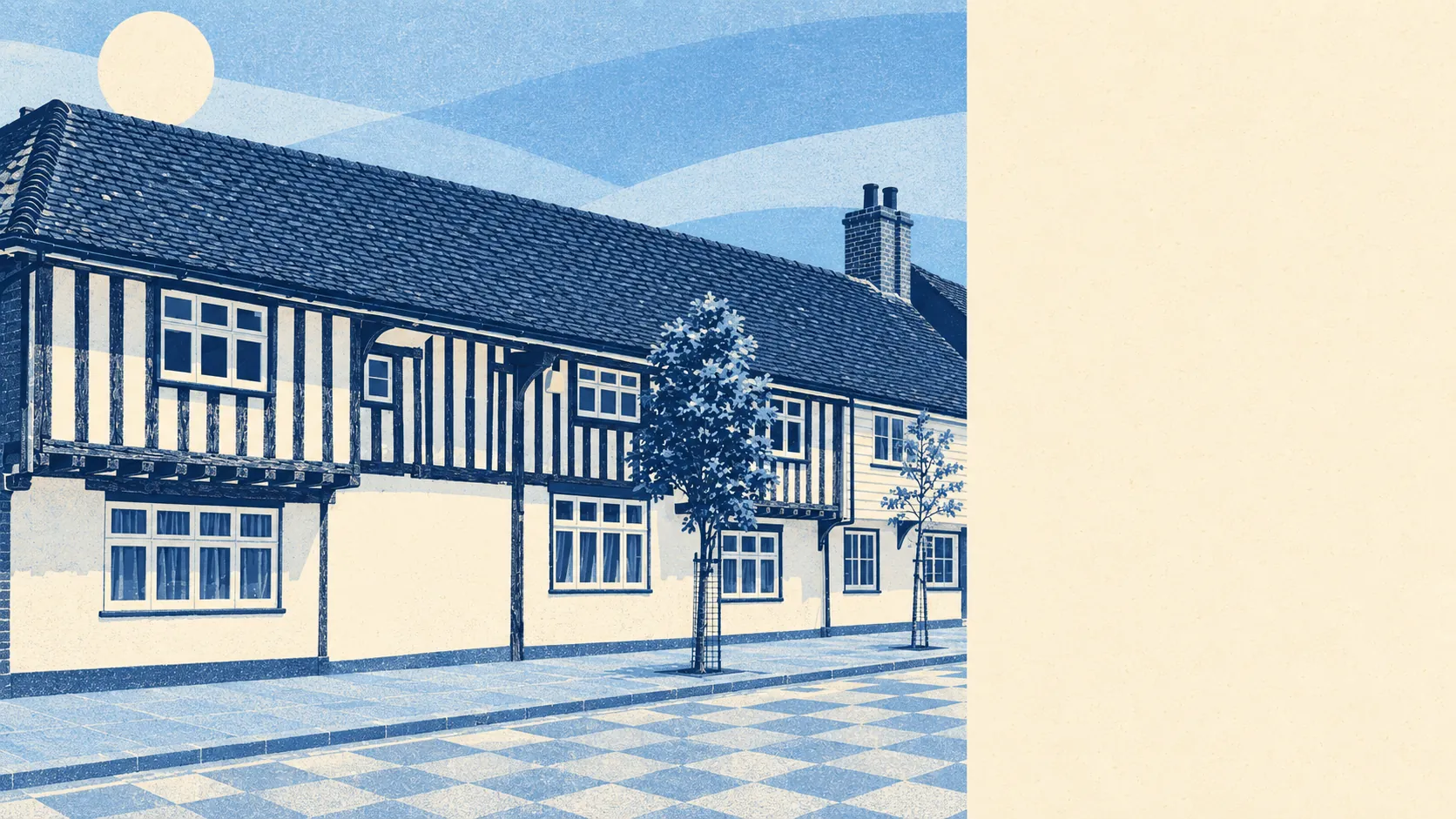
Flat, green, damp in places, and surrounded by hamlets with better names than the village. Green space is round the corner. Water is about as close. The gardens are big. The cycle network is far away. Marden has plenty of countryside and no pretensions about it.
The typical home is about 160 metres from green space, with around 13 green spaces within a kilometre. For a village that's generous, and it means a dog walk doesn't need the car. Nobody here drives to a country park, because the nearest one is effectively the lane at the end of the road.
Water is part of the scenery. The average home is about 170 metres from a patch of blue space, with around 64 within a kilometre. Ponds, ditches and river channels come with the flood plain of the River Beult, and the River Teise is in the parish story too. That's pleasant on a summer evening. Any buyer should also treat it as a reason to read the flood report.
The National Cycle Network isn't close. The average home is about 6.7 kilometres from it, and no postcodes sit near a route, so cycling here means the lanes. The mapped area has no ancient woodland either.
Ownership records give a rough sense of what is around. Across the wider TN12 postcode district, not Marden alone, corporately owned titles include 119 shops, 21 pubs and 6 restaurants. That describes a district of villages, not a single high street. In Marden itself, 23 food businesses carry a food hygiene rating.
Fine-particle air pollution across the Maidstone council area averaged 7.3 micrograms per cubic metre in 2024. That's a council-wide figure, not a reading taken in the village.
The feel comes from the parish's spread. Marden is the centre, with Chainhurst, Wanshurst Green, Collier Street, Marden Thorn, Marden Beech, Cross-at-Hand and a hamlet called Mockbeggar scattered around it. Mockbeggar reads like a comment on house prices, and Underling Green sounds like an office org chart. This is fruit country: the show that became the National Fruit Show began here in 1933. The industrial estate on Pattenden Lane, built from 1950, keeps the place from being a fruit-and-commuter village only. A section of the wartime Pluto fuel pipeline is on display at Marden Library, which gives the library a more interesting exhibit than most.
Homes come with real outdoor space. The area has about 338,000 square metres of private garden for every 1,000 residents. That's the figure that matters, because the share of total land given over to gardens looks small in a rural parish only because the farmland around it is so large. Big back gardens are normal here, which is exactly why the planning list is full of extensions.
The business rates list shows 152 rateable premises in the area. The largest categories are warehouse-type premises (39), offices (34) and workshop-type industrial units (17), followed by shops (12). These are premises on the valuation list, not a count of businesses trading today. They describe a working village with a light industrial side, not a boutique high street.
For eating out, about 70% of the 23 rated food businesses hold the top hygiene score and about 4% sit at the bottom. With a base that small, one or two premises make up either end.
None of the area falls within an area of outstanding natural beauty, a site of special scientific interest or ancient woodland. That isn't a flaw. It means the landscape is ordinary working Weald countryside, flat and farmed, without a designation to protect it or the visitors a designation brings.
The surroundings are one of Marden's real strengths. Green space and water are close to nearly every home, and so are big private gardens, in plain farmed countryside that doesn't try to be a postcard.