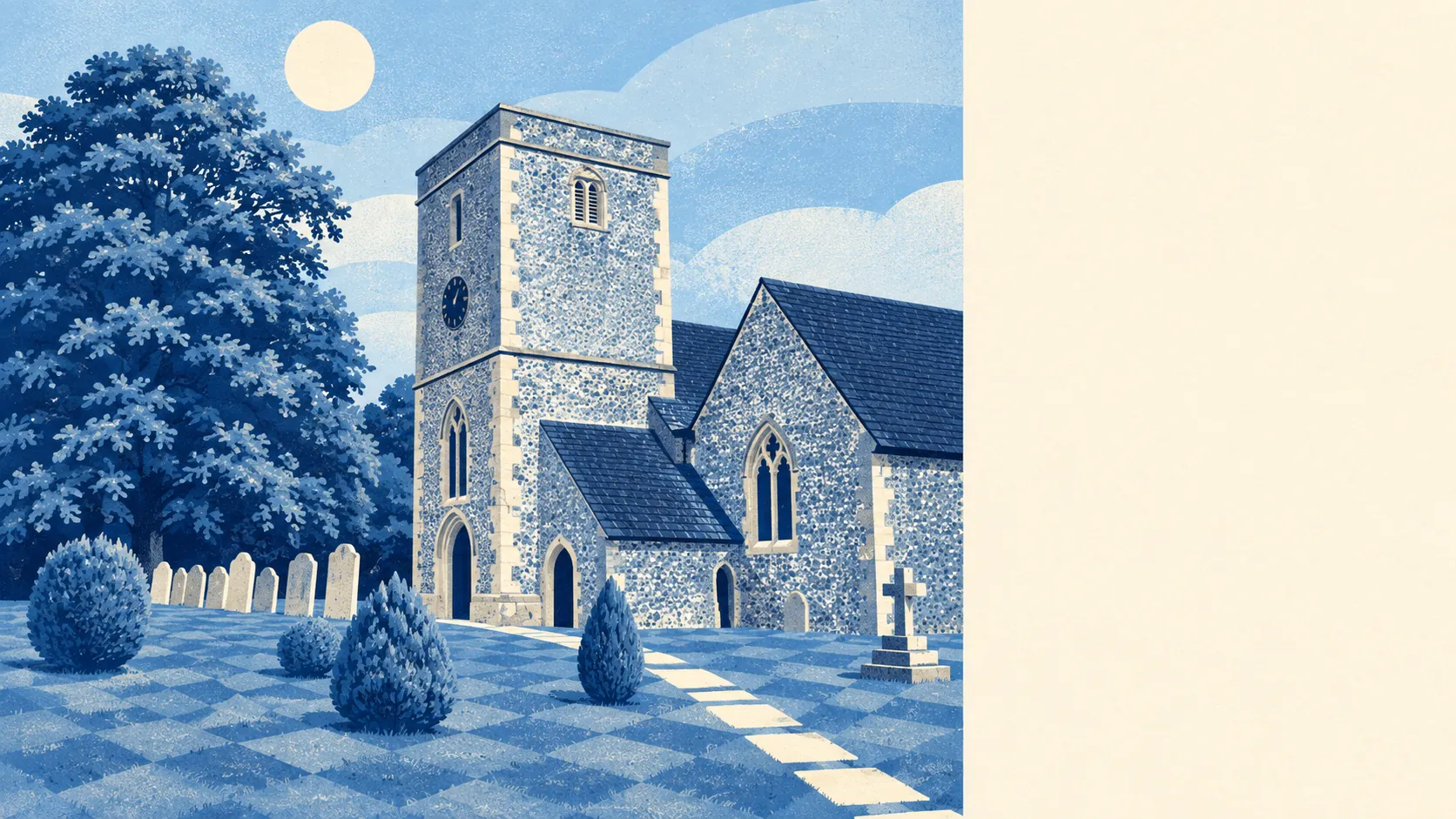
Kings Worthy is where Winchester money goes to buy a driveway. Seven in ten own their homes. About half the households run two cars or more. Crime sits a quarter below the Winchester average. It is a village by name and a comfortable suburb by habit, and the prices noticed long before the signposts did.
The housing is a mixed hand dealt mostly in houses. Across every dwelling on the council-tax list, about 27% are detached, 21% semi-detached, 19% terraced, 17% bungalows and only 13% flats. Just 11% were built before 1930, so the chocolate-box cottage is a minority report, and the energy certificates lean heavily on post-war building. That shows in the ratings: 61% of certificated homes sit in bands A to C, a third in band D, and about 6% in E or worse. About 83% of homes run on mains gas. The bungalow count deserves its own line. Somebody planned for people who had finished with stairs, and those people took the hint.
The Land Registry's last twelve months, to May 2026, recorded 58 sales at a typical price of about £446,000. The spread by type is where the budget conversation gets honest. The nine flats sold at a median of £221,000, the 12 terraces at about £325,000, the 13 semis at £440,000 and the 24 detached houses at £717,500. Detached homes were the biggest single group of sales, which says plenty about who is buying. Council tax follows the same logic: band D is the most common band, and only 13% of homes sit in bands A or B. Band D runs to about £2,360 a year. The cheap end of the ladder has very few rungs.
Renting runs at about £1,500 a month, and that is the typical private rent across the Winchester area as of April 2026, not a figure for Kings Worthy's own streets. The Office for National Statistics series behind it covers the whole council area, so treat it as the going rate for the district rather than a quote for any cul-de-sac here. Around a tenth of homes are privately rented, so the choice will be thin whatever the price.
Safety is the strongest card in the hand. The published crime rate is about 50 per 1,000 residents for the twelve months from June 2025 to May 2026, roughly 25% below the Winchester council average of about 66. The totals are small enough that a handful of incidents can shift the mix between categories, so read the rate, not the breakdown. The reputation around here is mostly about parking disputes and hedge heights, and the numbers do nothing to spoil it.
Connectivity depends on which kind of commuter you are. Nearly half of working residents in the last census worked from home, about 38% drove, and only 1% took the train, which is a polite way of saying Winchester Rail Station is somebody else's station that people drive to. The area has 24 bus stops, each averaging about 164 weekday departures, and 22 of them keep a weekend service. The Department for Transport's 2019 modelling put the town centre about 24 minutes away by public transport and 16 by car. Broadband is decent rather than dazzling: superfast reaches about 96% of premises, gigabit about 55%, and all four mobile operators cover about 99% of the place. The trade-off is the traffic noise. Every postcode sits near road noise of 65 decibels or more, and about half near rail noise at the same level. Double glazing here is a lifestyle choice, not a luxury.
Flood risk is small but not zero, and the two main measures say different things. On the Environment Agency's river-and-sea flood zones, about 2% of postcodes fall in zone 2 and 1% in zone 3. On the wider postcode indicators, which include surface water, about 10% of postcodes carry a high rating on at least one measure, 11% medium and 20% low. The two recorded flood events include one in 2001, caused by groundwater from an ephemeral watercourse, which is the chalk country way of saying a stream appeared where there usually isn't one. Green space is close: the average home is about 220 metres from the nearest patch, with nine spaces within a kilometre, and water is about 410 metres away. Radon is low. Nobody needs a car to find a field, even if everybody owns one.
Heritage is present without being a straitjacket. The area holds 34 listed buildings, one at Grade I, one at Grade II* and 32 at Grade II, plus two conservation areas, Kings Worthy and Abbots Worthy. Inside those boundaries, windows, extensions and anything visible from the street go through a stricter planning process, and a listed building needs consent for most changes inside and out. Outside them, the post-war stock can be extended with the usual paperwork. Check which side of the line a house sits on before falling for the kitchen plans.
The neighbourhood is settled and well-off. About 71% of households own their homes, the typical resident is about 43, and the Office for National Statistics modelled gross household income at around £78,000 for the financial year to March 2023. About half of adults hold a degree. This is a place where the book club has a waiting list and the recycling is sorted with conviction.
It suits couples and families who want the Winchester address, a garden and space for two cars, and who work from home often enough that the commute is a twice-weekly problem rather than a daily one. It suits downsizers who want a bungalow near a city without living in one. Kings Worthy Primary School sits in the village, which matters to the parents who planned around it.
It does not suit anyone who wants to walk to a train, a pub crawl or anything open after nine. First-time buyers will find the entry tier narrow, with flats few and far between, and renters will find the choice thin. Anyone sensitive to traffic noise should visit at rush hour, not on a Sunday afternoon.
Kings Worthy is a good place to live if the budget can take it. Its real strength is safety, with crime well under the Winchester average and nothing in the numbers to argue otherwise. The weak spot is value: prices sit high for what is mostly post-war housing next to busy roads. The quiet is real. So is the invoice.