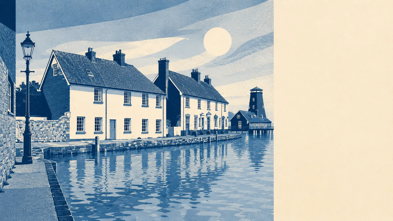
The area around Havant is genuinely excellent for green space, blue space, and the kind of coastline most south-coast towns would brag about. The average postcode sits about 170 metres from the nearest patch of green. Around 21 greenspaces sit within a kilometre. The coast is 43 metres from the closest postcode. Chichester Harbour, the area of outstanding natural beauty, touches the eastern edge. That is the version of the surroundings the brochures would write if they had the data to back it up.
The green-space picture is unusual for a town of this density. The average postcode sits about 170 metres from the nearest patch of green, with around 21 greenspaces within a kilometre. The wider area carries a population density of roughly 5,000 people per square kilometre. That combination is the part that does not happen by accident: a coastal town that has not paved itself out of being a coastal town. Leigh Park, which contains the Staunton Country Park estate, sits to the north and provides the headline open-space anchor. Stansted Park lies to the north-east as a country house with its own historic grounds. Bluespace access matches the green picture, with around 39 water-edge or open-water features within a kilometre of the average postcode and the nearest one about 300 metres away.
On formal landscape designations, the Chichester Harbour Area of Outstanding Natural Beauty extends into the eastern edge of the area at about three quarters of one percent of the footprint. That is a sliver in absolute terms, but a sliver that matters because the designation covers the rest of the harbour east of Havant and shapes what can be done with the harbour-edge land. Beyond that, there are no national landscape designations inside the town's own boundary, no sites of special scientific interest, and no ancient woodland on the public register. The protection sits mostly in what surrounds the town rather than what sits inside it, which is a more honest way of being a coastal town than putting up a brown sign for every patch of greenery.
For the surrounding settlements, the picture varies by direction. To the south, Langstone sits where the town meets the harbour, with Hayling Island reached across the bridge from there. Warblington and Emsworth lie east along the coastal line, with the village fringes of Prinsted and Thorney Island running toward the protected harbour land. Bedhampton, Drayton and Farlington spread west toward the Portsmouth conurbation. The northern side runs up through Leigh Park and Brockhampton toward the country park, with Rowlands Castle a short distance further up on the East Hampshire side of the borough boundary. Waterlooville, Purbrook and Cowplain sit to the north-west, with the smaller post-war infill at Wecock, West Leigh and Stakes between them. Around half the postcodes sit within easy reach of the National Cycle Network, which the average postcode meets in about 650 metres, which is the kind of distribution that says the harbour and the country park are connected to the town by something more than a road.
The verdict is that the surrounding area is the strongest card Havant holds. The country park to the north, the harbour to the south and east, the National Cycle Network running through it, and the greenspace density inside the town itself: that is the part of the deal that does not need defending. Anyone choosing Havant for the surroundings is choosing well.