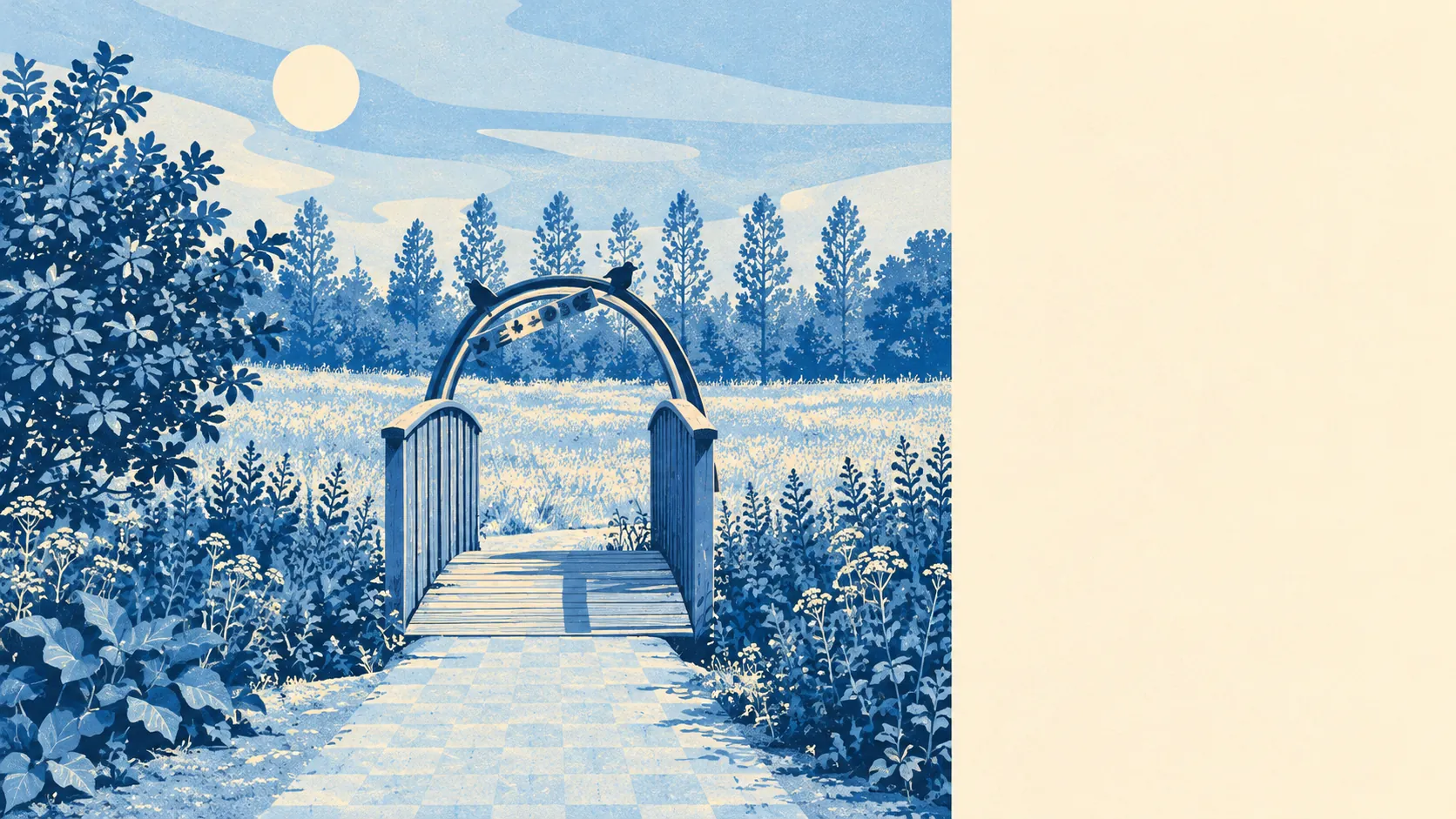
Harold Wood has more green space close to its front doors than a suburb this built-up would suggest. A park is a short walk from most homes. Water is nearby too. The shops cover everyday needs and little more. For a place on the outer edge of London, it has a lot of open ground close to home.
On average, a Harold Wood home is roughly 210 metres from the nearest public green space, with about 15 green spaces within a kilometre. For most people that means a park, a playing field or a patch of common at the end of the road.
Water is close as well. The nearest pond, lake or stream is on average about 400 metres away, and there are about 14 bodies of water within a kilometre. The River Ingrebourne once marked the edge of the old parish, and running water is still part of the local landscape.
The National Cycle Network is about 820 metres away on average, and about a third of postcodes are close to it. Harold Wood has no ancient woodland within its boundary. The older countryside starts towards Noak Hill and the Greater London boundary with Essex, where Dagnam Park Farm's moated site is a reminder that this was farmland well before it was suburb.
The high street covers what daily life needs, and not much more. The food hygiene register lists 172 shops, 6 pubs and 7 restaurants among the rated premises here. Six pubs is enough for the place to have opinions about which one is the local, and seven restaurants means Harold Wood mostly eats out in Romford.
Havering's average fine-particle pollution was about 8.2 micrograms per cubic metre in 2024, a borough-wide figure that includes the roads along Harold Wood's edges as well as the parks inside it.
Harold Wood is a working suburb, built mostly after the war around its station, with Harold Hill, Harold Park and Noak Hill next to it. Upminster Windmill and the conservation area at Gidea Park are nearby for anyone after something older. The most visible recent change is the Kings Park estate on the site of the old Harold Wood Hospital on Gubbins Lane. The oldest touch is in the street names. Some of the original roads are named after Æthelstan and Alfred the Great, which is a grand set of names for a run of suburban semis.
Homes here come with real private space. Across Harold Wood, private gardens add up to about 66,000 square metres for every 1,000 residents. Between the parks and the back gardens, few households here are without somewhere green to sit.
Havering's valuation list records 693 rateable commercial premises in and around Harold Wood. Shop premises are the largest group, at 170, and offices next, at 105. These are premises on a tax list, not a count of businesses open today, and an empty unit still counts.
Of the 169 food outlets rated for hygiene, about 66% hold the top score of five, and about 4% sit at the low end. That is a respectable record for a small high street.
No protected landscape overlaps Harold Wood. There is no area of outstanding natural beauty, no site of special scientific interest and no ancient woodland. The green space here is ordinary parks and playing fields, used every day, with no special designation.
The surroundings are one of Harold Wood's real strengths. Parks, water and back gardens are all within a few minutes of home, and the only thing missing is a better choice of places to eat out.