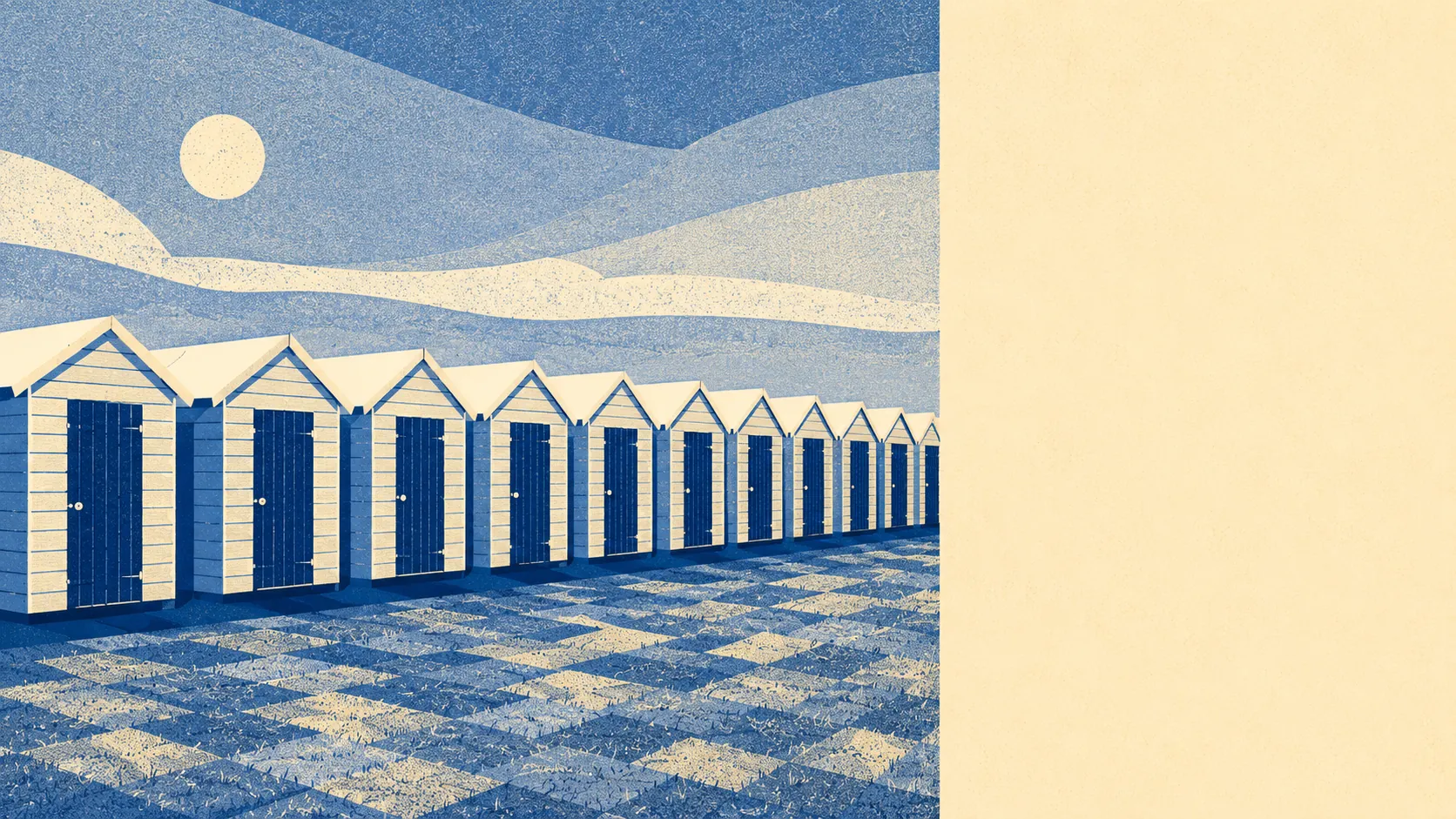
Blake saw angels here; you'll see bungalows. The man wrote Jerusalem in a thatched cottage off what is now Blake's Road, between 1800 and 1803, and called the place sweet. The median age is now 49. About four in five households own their home. Roughly one in five lives in a bungalow. Felpham gave the language "England's green and pleasant land" and then quietly settled into being exactly that, with a slightly older driver behind the wheel than the brochure suggests.
The housing stock is mostly houses, with about three in five of the surveyed properties in that category, around one in five bungalows, and the rest flats. The post-war years did most of the work. Somewhere just under half of the homes here went up between 1950 and 1982, which is the dominant texture of the village outside the conservation-area core. About one home in ten dates from before 1930. On energy ratings, roughly half the stock sits in bands A to C, around a third in band D, and about one in seven is band E or worse. The bungalow belt is the bungalow belt, and the gas bills follow.
Typical sale prices over the last twelve months landed around £355,000 across just under a hundred transactions, which is enough to be a market rather than a rumour. Detached houses pull the headline up to about £430,000, semis sit near £345,000, terraces near £320,000, and flats trade around £215,000. Council tax is mostly band D, which is the modal band on the brief, with about one home in nine in bands A or B. Nothing about the cost profile is dramatic. Nothing about it is cheap.
For rent, the typical private rent across the Arun area runs at about £1,220 a month, up roughly three and a half percent over the last year. That is an area-wide figure for the local authority, not a quote for Felpham itself, but it is the honest comparator. Felpham sits at the more settled end of Arun, so expect that number to be the floor in this village rather than the ceiling.
Crime runs at about 79 incidents per thousand residents over the last twelve months, which is roughly 12% below the local-authority average for Arun. That is the kind of figure that gets called quiet without being called dead. The village is not where Arun's crime statistic gets made; that work happens elsewhere in the district.
Connectivity is the polite word for what is going on here. About one resident in a hundred commutes by train, just under two in a hundred by bus, and nearly three in five by car. Roughly one in four works from home. The nearest stations are at Barnham, Bognor Regis and Ford, and none of them are in Felpham. Broadband does most of the heavy lifting. Gigabit is available at around 94% of postcodes, and superfast at every postcode in the village. If your job runs down a cable, you are fine. If it runs down a railway line, you are driving to one.
The flood picture is the genuinely uncomfortable part of the brief. About 17% of the village sits in Environment Agency Flood Zone 3, the highest current risk band, and around one postcode in twelve registers some high surface-water risk. The seafront is right there, the climate-change footprint covers most of the village on the long projection, and the local shoreline-management policy for the next century is to hold the line. That is a real engineering commitment, not a promise. Green space is the easy half of the trade: average distance to the nearest green space is about 136 metres, with roughly 16 such spaces within a kilometre. The sea is about 200 metres away on average. You are not going to be short of somewhere to walk the dog, provided the dog is happy on the lead.
For heritage, there are 21 listed buildings in the village, including the Grade II* Blake's Cottage and Church of St Mary, with the remaining 19 at Grade II. There is one conservation area, covering the historic core around the church. The practical translation is that if you buy in the older central streets, the answers to "can I put in new windows" and "can I render the front" stop being yours alone. Outside the conservation area and off the listing register, which is most of Felpham, you are dealing with ordinary planning, not heritage planning.
Around four in five households own their home, which is well above the West Sussex norm and a long way above the national one. The median age is 49. Median household income comes in around £56,000, which is a comfortable middle without being the kind of money that buys you out of the rural commute. Roughly three in ten residents hold a degree, and about one in six has no formal qualifications. Single-person households make up just under three in ten, with one in five of those a single pensioner. This is not a village of young families chasing the catchment. It is a village of settled owners, a fair few of them retired, and the household composition data is consistent with that across every line you can pull.
Who it's for: people who have already done the city and the commute, want a flat coastal village with a literary footnote and a strong owner-occupier base, and would rather drive eight minutes to a supermarket than fight for a kerbside space anywhere. Anyone who wants the sea two hundred metres away, the school-run logistics simplified, and a council tax bill they can plan around.
Who it's not for: anyone hoping this is a creative-class coastal enclave with sourdough and a train to London. It is closer to Middleton-on-Sea than to Whitstable, and the data knows it. One in a hundred commutes by train. Six in ten drive to work. If you wanted Bognor Regis with a literary plaque, you have found it. If you wanted Bognor Regis without the bits that make it Bognor Regis, that is a different village two miles up the road, and it is called Middleton-on-Sea.
On balance, Felpham scores above average, about 3.5 out of 5 across the dimensions that matter to a buyer. The strongest part of the picture is the surrounding area and green-space access, which earns the full five. The weakest is flood risk, which earns a two and is the single thing on this page worth a proper look at the address-level map before you commit. Blake saw angels here. You will see a fairly sensible village with a coastal footnote, a settled demographic, and a flood map that wants reading carefully. Rustington with literary credentials; Whitstable without the trains or the sourdough.