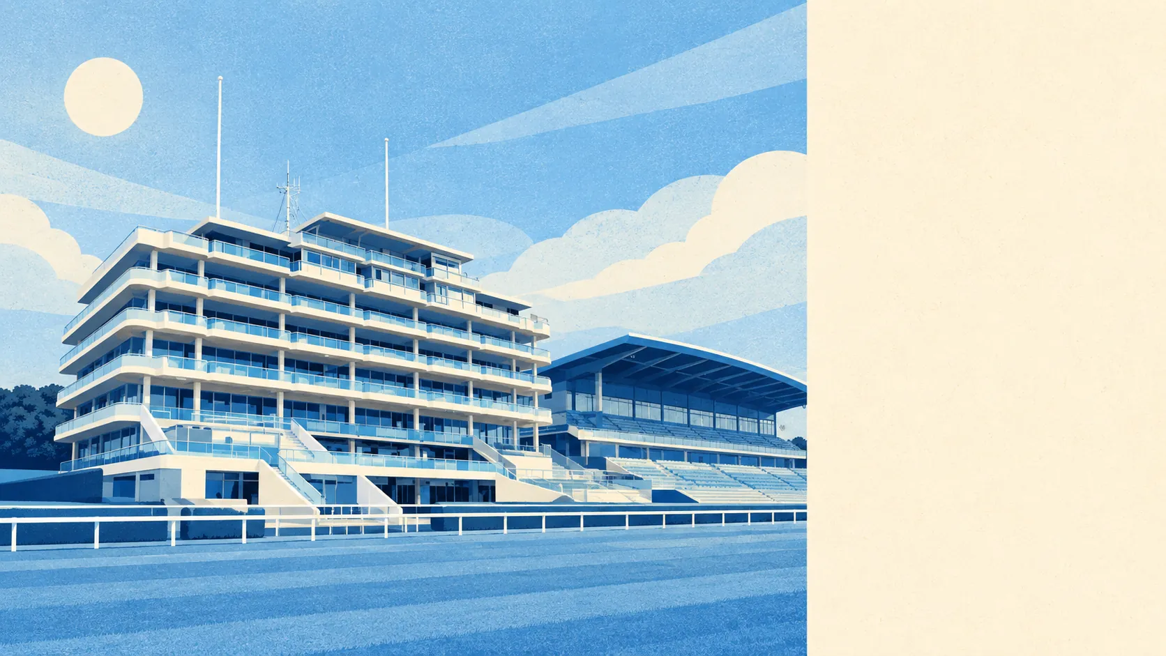
Epsom is surrounded by open land, and that is one of the best things about it. There is a park within a couple of minutes' walk of almost every home. A common and a country park run along the western side of town. Chalk downland stretches away to the south. Not much else within reach of London has that much countryside on the doorstep.
The average home in Epsom is about 140 metres from the nearest green space, with around 25 green spaces within a kilometre. That is enough to walk the dog somewhere different every day for most of a month. The town's common and Horton Country Park are both local nature reserves owned and run by the borough council, and Nonsuch Park lies to the north-east.
Water is further away, but still close. The average home is about 460 metres from a pond, stream or other water, with around 12 within a kilometre. Several tributaries of the Hogsmill River rise where the chalk meets the clay, so the water here mostly starts as springs and streams.
The National Cycle Network is about 3 kilometres from the average home, and no postcode in Epsom is close to it. Epsom Cycling Club was founded in 1891 and is one of the oldest in the country, so local cyclists have had well over a century to get used to riding on ordinary roads. The Thames Down Link footpath runs through Horton Country Park and across the common on its way between Kingston upon Thames and Box Hill.
The high street serves the town properly. Property records list 581 shops, 29 pubs, 51 restaurants and 381 offices across the area, which is enough for a full shop, a meal out and a working week without leaving town.
Fine-particle air pollution across the borough of Epsom and Ewell averaged about 8 micrograms per cubic metre in 2024. That figure covers the whole council area, not individual streets.
The south of the area is all chalk. Epsom Downs, with the racecourse, rises to the highest point in the old parish, and Langley Vale sits in a dry valley between Epsom Downs and Walton Downs. In 1711 the philosopher John Toland wrote that the Downs were covered with grass finer than Persian carpets. No one has written a better description of the place since. The north and west are suburban, on clay, with Stoneleigh at the northern end and Horton built on the former hospital sites beside its country park.
Private gardens add to the public space. Epsom has about 101,000 square metres of private garden for every 1,000 residents. Many homes have outdoor space of their own as well as a park nearby.
The council's business rating list has 1,059 premises in the area. Offices are the largest single group with 315, ahead of shops. These are rateable premises on the valuation list, so some may be empty or between tenants. A town with more offices than shops on its rating list still does a lot of business locally, even with so many residents working from home.
Of the 195 food businesses with a hygiene rating, about 75% hold the top score of five, and none is rated in the bottom bands. Choosing where to eat out in Epsom is mainly a question of what you want.
None of Epsom is covered by a national landscape designation. There is no area of outstanding natural beauty, no site of special scientific interest and no ancient woodland. The common, the country park and the Downs are protected locally, by the council that owns most of them. Unlike much of rural Surrey, Epsom's green space is mostly land that people use every day, not scenery kept for looking at.
As a place to live outdoors, Epsom is hard to beat. Commons, country parks and downland are a short walk from almost every street, and the high street has plenty of shops and places to eat.