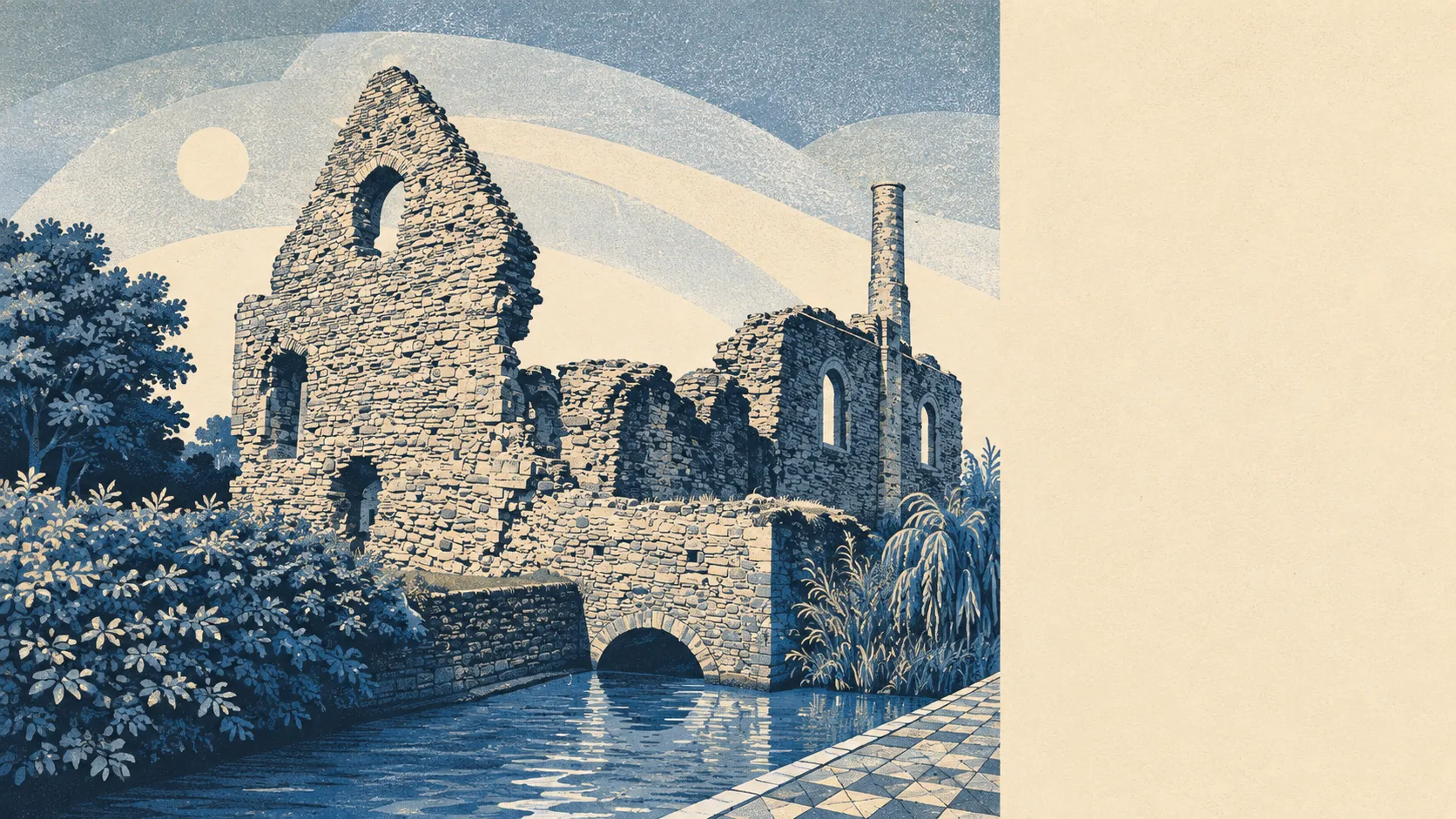
Outdoors, and unapologetically so. Two rivers, a harbour, a sand spit and a chain of hills sit within a short walk of ordinary housing. Green space is a couple of hundred metres away almost everywhere. Water is closer still. Nothing here carries a protected-landscape badge, which is exactly why the coach parties go elsewhere and the residents get to keep it.
On green space, the average postcode sits about 207 metres from the nearest patch, with roughly 15 separate spaces within a kilometre. That is walking-out-of-the-front-door distance rather than getting-in-the-car distance, and it is the single most reliable thing about living here. Whatever else the town gets wrong, it has never made anyone drive to find grass.
Water is closer than the green space in a lot of cases. The average distance to blue space is around 263 metres, and there are roughly 64 separate water features within a kilometre of the typical postcode. Rivers, millstream, harbour and coast all fold into that count, which is what happens when a settlement is founded on the strip of raised land between the Avon and the Stour and then spends twelve centuries not moving.
Cycling out of it is easier than cycling to it. The National Cycle Network sits about 1.3 kilometres from the average postcode, and around 33% of postcodes count as close to it. That is a network you reach rather than one that reaches you, which is a familiar arrangement in towns built for cars.
The high street is made of shops and drinkers. The rating list carries 446 shop premises, 31 pubs and 27 restaurants, which is a town that would rather have a pint than a tasting menu and has arranged its commercial property accordingly. There are also 373 office premises on the list, which is more than most people would guess from walking through the middle of it, and 1,653 rateable premises in total. Those are premises on the valuation list rather than businesses currently trading, so read the shape of the place from them, not a trading directory.
On air, fine particle levels across the Bournemouth, Christchurch and Poole council area averaged about 6 micrograms per cubic metre in 2024. That is a council-area measure rather than a reading taken on any Christchurch street.
The character comes from the geography doing most of the work. Christchurch Harbour is protected by Mudeford Spit and closed off by Hengistbury Head, with Mudeford Quay on one side of the entrance and the beach huts on the other. Stanpit Marsh sits inland of it, salt marsh and reed beds and grazing horses just below where the rivers meet. St Catherine's Hill rises to the north as the highest ground in the old borough, heath and conifer with long views out toward the coast and the hills. Outlying settlements at Burton, Winkton, Sopley, Hurn and Walkford stay separate rather than merging, largely because the town sits at the centre of a green belt designed to stop precisely that.
Private outdoor space is generous in a way the public figures do not capture. Gardens run to roughly 138,000 square metres per 1,000 residents, which is a bungalow town's answer to the question of whether people have somewhere to sit outside. They do, and it is theirs.
Eating out is safer than the pub count implies. Across 285 rated food premises, about 87% hold the top hygiene score and only around 1% sit at the bottom of the scale. That is a good spread for a town with this much seasonal trade.
One honest absence: no protected-landscape designation registers against this area. No area of outstanding natural beauty, no site of special scientific interest, no ancient woodland recorded within the boundary. That is not a mark against the place, it just means the harbour, the marsh and the heath are working landscapes and local reserves rather than nationally badged scenery.
The surroundings are the best thing this town has, and the fact that nobody has stamped a designation on them is the reason you can still park at the quay on a Sunday.