Chipping Norton is a hilltop wool town that the rivers leave alone and the police reports do not. None of it falls in the river-and-sea flood zones. Crime runs about a third above the rest of West Oxfordshire. For most buyers that still adds up to a better-than-average place, as long as they go in knowing which half of the deal is the soft one.
The Environment Agency's river-and-sea flood zones miss Chipping Norton entirely, with 0% of the area in zone 2 or zone 3, and no historic flooding is on record. Surface water is where the remaining risk lives. Counted by postcode, on at least one flood indicator including surface water, about 3% carry a high-risk flag, 6% a medium one and 28% a low one. The town started out beneath its castle mound and moved its market place up the hill in 1205, which still looks like the best drainage decision anyone in West Oxfordshire has made.
Thames Valley Police figures for June 2025 to May 2026 put recorded crime at about 68 per 1,000 residents, against 53 for West Oxfordshire as a whole, roughly 29% higher. Violence and sexual offences made up about half the total, compared with about 35% across England and Wales. That category is broad and includes common assault without injury, and the town's totals are small enough that a few incidents move the share by several points, so the mix is a snapshot of one year. Across the whole force, a charge followed in about 9% of cases over the same months, against 12% nationally, which put Thames Valley 37th of 42 forces. A force covering Reading and Milton Keynes is answering for a great deal more than one market town.
The people are settled, prosperous and mostly middle-aged. About 65% of households own their home, the median resident is 46, and gross household income averaged roughly £58,000 in the financial year to March 2023, an Office for National Statistics model for the wider area covering the town. That is grown-up money, the kind that goes to the Wednesday market for the conversation as much as the cheese.
British Railways took the station away in 1962, and Chipping Norton adapted by commuting less. At the 2021 census about a third of workers did their jobs from home, 46% drove, and fewer than one in a hundred took the train, which now means a trip to Kingham Rail Station. The town's 43 bus stops average 49 weekday departures each, about two an hour at peak, and every one has a weekend service; The Villager community bus works the residential roads and nearby villages. Gigabit broadband reaches about 90% of postcodes and superfast reaches all of them. The old railway tunnel west of town is bricked up at both ends and given over to bats, who are the only commuters with a direct line out.
The Land Registry recorded 91 sales in the year to early May 2026, at a median of about £366,000. Flats went for around £195,000, terraced houses £320,000, semis £393,000 and detached houses £557,000. Band C is the most common council-tax band, and about 23% of homes are in bands A or B. Renting means working from a district figure: West Oxfordshire's typical private rent stood at about £1,270 a month in April 2026, an average across every town and village the council covers.
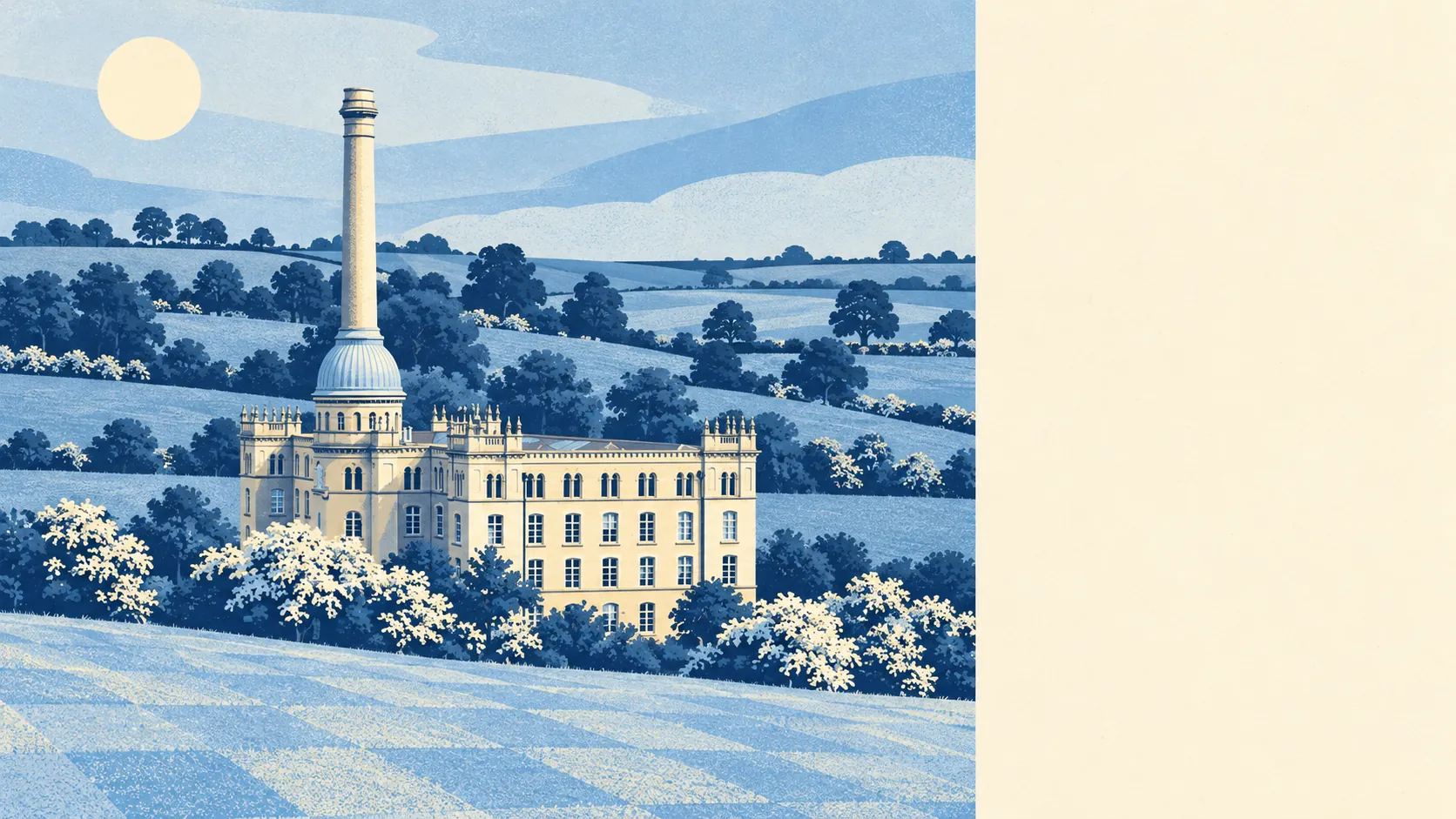
The council-tax valuation list gives the whole stock. About 31% of homes are terraced, 22% flats, 21% semi-detached, 16% detached and 11% bungalows, and roughly 21% were built before 1930. On energy certificates, about 63% are rated A to C and about 10% E or worse. Mains gas heats about 79% of homes and about 8% rely on electricity alone. The best-known flats in town are inside Bliss Tweed Mill, built in 1872, closed in 1980 and visible from Worcester Road, where the millworkers once held an eight-month strike and the residents now argue about the service charge.
Heritage comes in bulk. Chipping Norton has 126 listed buildings, one of them Grade I and ten Grade II*, and the centre is the Chipping Norton conservation area, so new windows, extensions and alterations to frontages tend to need consent before anyone fetches a drill. Owning a listed house means the council has a view on the windows too. Between 1972 and 1999 the old British Schools building on New Street was a recording studio that produced Baker Street and In The Army Now, and the planning department has shown none of the session musicians' appetite for experiment.
The six primary schools in the town's postcode districts averaged a Key Stage 2 maths score of about 104, and the one secondary, Chipping Norton School, had an Attainment 8 score of about 49. Locally the primaries include St Mary's Church of England (Aided) Primary School and Holy Trinity Catholic School. Ofsted's picture is county-wide: across Oxfordshire, 108 of 121 graded settings are good or better and 11 are outstanding. Parents should read that as a statement about Oxfordshire. No inspector has signed off on any particular classroom on that basis.
The outdoors starts close to the front door. The average home is about 190 metres from green space, with 12 green spaces within a kilometre, and water is about 370 metres away. About 84% of the area lies inside the Cotswolds Area of Outstanding Natural Beauty, and the page also covers the villages around it: Bledington, Chadlington, Charlbury, Enstone, Finstock, Middle Barton and Swerford. Jeremy Clarkson and Kaleb Cooper are both on the town's list of notable people, so the surrounding farmland has more viewers than most.
The town is the right call for owners who want a proper working market town inside the Cotswolds, who drive or work from home, and who will spend money on an old house without fighting the conservation officer over it. Anyone who needs a train from the end of the road, or who wants the lowest crime figures in the district, should look harder at the villages or further afield.
Chipping Norton is a better buy than most of its critics would admit. Flooding is unlikely to bother you on the hill, but you'll probably notice the crime figures, and buyers who can live with the second are getting one of the driest towns in the county.