Ludicrously good, in a way that makes the house prices harder to argue with. Green space starts at the end of the road. Open water is about as close. Every postcode in the town sits inside a nationally designated landscape. The countryside here is not a weekend amenity you drive to, it is the thing the town is embedded in, and the town has never pretended otherwise.
Green space is the headline. Homes here sit an average of about 135 metres from a green space, with around 20 separate sites within a kilometre. That is not a park and a recreation ground, it is a network dense enough that most residents have a choice of where to walk the dog without repeating themselves inside a fortnight.
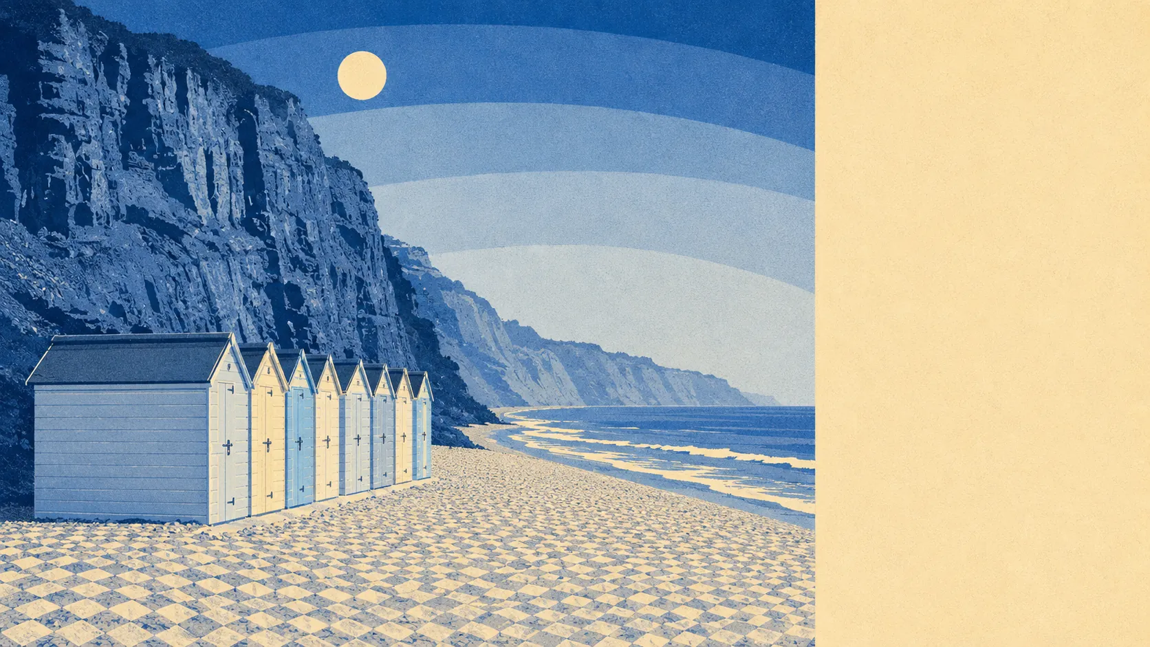
Water is barely further. Blue space averages about 300 metres from the front door, with around 35 water features within a kilometre, and the median postcode sits about 470 metres from the coast itself. The River Otter reaches the sea at the town's pebble beach, and the South West Coast Path runs through, heading east towards Sidmouth and west towards Exmouth. The red sandstone cliffs that give the beach its colour are part of the Jurassic Coast, which is the geological equivalent of living next to a listed building you never have to maintain.
Getting into it is easy on two wheels as well as two feet. The National Cycle Network sits an average of about 310 metres away, with about 85% of postcodes close to it, helped by the old railway route that now carries a walking and cycling path towards Exmouth. There is no ancient woodland in the area, which is the one box the surroundings leave unticked.
The designations do most of the explaining. All of the town falls inside the East Devon Area of Outstanding Natural Beauty, and Budleigh Salterton Cliffs is a designated Site of Special Scientific Interest, covering a small share of the area at the coastal edge. Designation of that kind is why the view from the beach looks much as it did when the town was a fishing and farming settlement, and why it will still look like that when everyone reading this has finished worrying about their extension.
For air, fine-particle levels across the East Devon council area measured about 5.2 micrograms per cubic metre in 2024. That is a council-area figure rather than a street-level one, and it is the sort of reading you would expect from somewhere with a sea breeze and no heavy industry.
The immediate area is a working town rather than a hamlet, with the villages of East Budleigh and Otterton nearby, and Yettington, Kersbrook, Knowle and Littleham filling in the surrounding countryside. Otterton Mill sits among the listed buildings of the wider area. This is a landscape of small settlements strung between a river and a coast path, none of which have grown into each other.
On the valuation list there are 181 rateable premises across the area, including 78 shop premises, 21 offices, 6 pubs and 2 restaurant premises, alongside 47 holiday lets. A caveat worth stating plainly: those are premises on the rating list rather than businesses currently trading behind the doors. The shape of it tells you what kind of high street this is. Plenty of retail, almost no restaurants, and a holiday-let count that explains why the town has two distinct populations depending on the month.
Eating out is a small field but a clean one. Of the 44 rated food premises in the area, about 80% hold the top hygiene score, and about 7% sit at the lower end of the scale. For a town this size that is a respectable record, and it means the odds are on your side without being a certainty.
Private outdoor space is generous in a way the public green space figures do not capture. The area carries roughly 247,000 square metres of private garden per 1,000 residents, which is a great deal of lawn, hedge and shed for a place with a beach at the bottom of it. Gardens here are not the token strips that coastal towns often run to.
The surroundings are the single best thing about this town, and it is not close. Landscape designation over every postcode, water and green space within a few hundred metres of most homes, and a coast path that starts where the pavement ends.