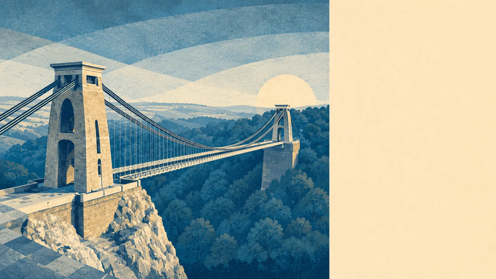
The area around Bristol is the best thing about living here. Green space sits about 130 metres from the average front door. Something like thirty separate patches of it fall within a short walk. Countryside, gorge and estuary all start within the city's own edges. If Bristol scores middling on plenty of things, its setting is where it quietly runs the table.
The numbers behind that are unusually strong. On average a Bristol home has around thirty pieces of green space within a kilometre, and the nearest is roughly 130 metres away, which in plain terms means a park, a down or a stretch of common is almost always closer than the nearest main road. Water is not far behind, with open water and waterside averaging a few hundred metres out. For a city of this size to put that much green within reach of the ordinary doorstep is rare, and it is the single highest mark on Bristol's card.
The character follows the geography. Bristol sits on hilly ground where the rivers Avon and Frome cut down through limestone, which hands the city the Avon Gorge, the open sweep of The Downs at Clifton, and the woods across the water on the far bank. Larger green estates ring it, from Ashton Court and Blaise Castle to Stoke Park and Oldbury Court, and Arnos Vale folds a green Victorian cemetery into the mix. Beyond the edges the Mendip Hills and the Cotswolds are within easy reach, the Severn Estuary lies to the west, and the National Cycle Network threads out of the city, with close to four in ten homes sitting near one of its routes. This is a place where the line between city and outdoors is genuinely blurred.
So what is the area around Bristol like? Genuinely excellent, and the standout reason people put up with the prices and the hills. Green almost everywhere you look, open country a few minutes past the last houses, and a setting most cities this busy would give a great deal to borrow.