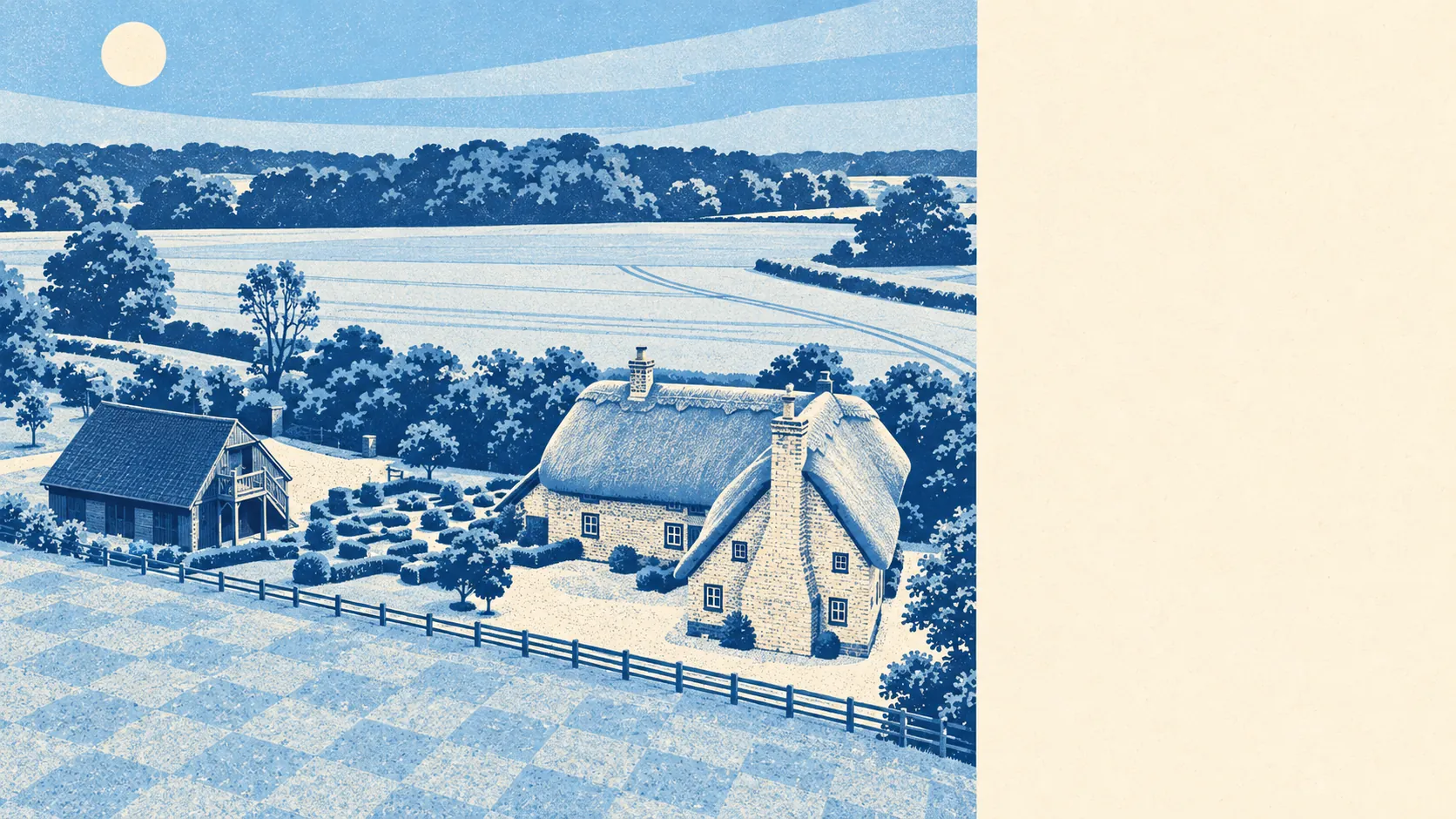
The area around Bramley is fields, water and country houses, with pubs filling the gaps. Green space is a short walk from most front doors. Water is closer still. Pubs heavily outnumber restaurants. It is the countryside the brochures promise, with the pub doing the job a high street would do elsewhere.
Green space is everywhere you look. The average home sits about 333 metres from the nearest green space, with around 8 within a kilometre. Nobody here drives to find a field. The fields find you, usually with a footpath sign and a stile of questionable engineering.
Water is closer than the grass. The nearest blue space, a river, stream, pond or lake, averages about 273 metres from home, with around 23 within a kilometre. For a place with no coastline, that is a lot of water to walk the dog past, and it is the same water that makes checking an address's flood record sensible.
Getting out properly takes a little more effort. The National Cycle Network averages about 1.3 kilometres from home, and about 26% of the area sits close to it. The bike stays a leisure option rather than a way to get anywhere in particular.
The rated-premises data describes an area built around a drink. It records 289 shops, 80 pubs and 13 restaurants across the wider area. Eighty pubs against thirteen restaurants is the local social calendar in one line: dinner out is a treat, a pint is a routine.
Air quality is measured across the whole of Basingstoke and Deane, and in 2024 fine-particle levels averaged about 6 micrograms per cubic metre for the council area. That is a borough figure, and it comes with none of the traffic of the town it is averaged over.
The character is country estate with a village attached. The surrounding landscape includes the registered parks and gardens of Stratfield Saye Park, Tylney Hall, Heckfield Place and Swallowfield Park, and The Vyne is among the listed houses nearby. Silchester sits beside Calleva Atrebatum, the Iron Age and Roman town, and Sherfield on Loddon takes its name from the river. In Bramley itself, the Church of St James dates from 1160, and Bulls Down camp, a prehistoric earthwork, lies east of the village. The neighbours, in other words, have been here a very long time and have kept the grounds nicely.
Private gardens are generous. The area has about 265,000 square metres of garden per 1,000 residents, which is the measure that counts in a rural place where the fields would otherwise skew any comparison. Houses here come with room to sit outside, and in most cases room to argue about the hedge.
The rating list records 189 business premises across the area, with offices the largest category. These are rateable premises on the valuation list, not a count of businesses trading today, and they describe an area where commercial life is small-scale and scattered rather than gathered on a high street.
Eating out, when it happens, tends to be clean. Of 44 rated food premises, about 68% hold the top hygiene score, and about 2% sit at the bottom end of the scale. The kitchens mostly pass. There are not many of them to fail.
No protected-landscape designation overlaps the area: no area of outstanding natural beauty, no site of special scientific interest and no ancient woodland. That is not a mark against it. This is working farmland and parkland rather than a landscape under glass, and the countryside is there to be walked on rather than admired from a car park.
The surroundings are one of Bramley's real strengths: green space and water on the doorstep, gardens with room to spare, and country-house parkland in every direction, with the pub standing in for the restaurant.