Green, steep and legally protected from anyone with ambitious plans. A green space sits a couple of minutes from most front doors. Water is closer than the nearest shop. The whole parish lies inside the Cotswolds. Here the countryside is the main amenity, and the pubs come a distant second.
Green space is on the doorstep. The nearest public green space is about 195 metres from the average home, and there are about 8 within a kilometre. People who move here for "access to the outdoors" find the outdoors has already let itself in.
Water is almost as close. The nearest blue space, a river, stream or pond, is about 280 metres from the average home, and there are about 21 within a kilometre. The settlements sit on higher ground above the Bybrook, with its tributary the Lid Brook tracing part of the parish edge, so most of that water is something you walk down to rather than something that walks up to you.
For longer outings, the National Cycle Network is about 5 kilometres from the average home, and no postcodes sit close to it. There is no ancient woodland in the area. The walking is on your own doorstep. Organised cycle routes need a drive first, which rather defeats the point for the kind of cyclist who owns the full kit.
Everyday amenity is thin in the village and fuller across the district. Company-owned property titles across the wider SN13 postcode district include 78 shops, 14 pubs and 4 restaurants, a spread that takes in Corsham and doesn't describe Box's own lanes. The Food Standards Agency has rated 8 food premises in the area itself, about 88% of them at the top score and none at the bottom. Small numbers, clean kitchens.
Air quality is good. Fine-particle pollution across the Wiltshire council area averaged about 6 micrograms per cubic metre in 2024, a county-wide figure rather than a reading taken in the village.
The designation that defines the place covers all of it: 100% of the area sits within the Cotswolds Area of Outstanding Natural Beauty. There is no Site of Special Scientific Interest overlapping the area and no ancient woodland. What's protected here is the landscape as a whole, which is why a hedge row out of place gets more attention than it would anywhere else.
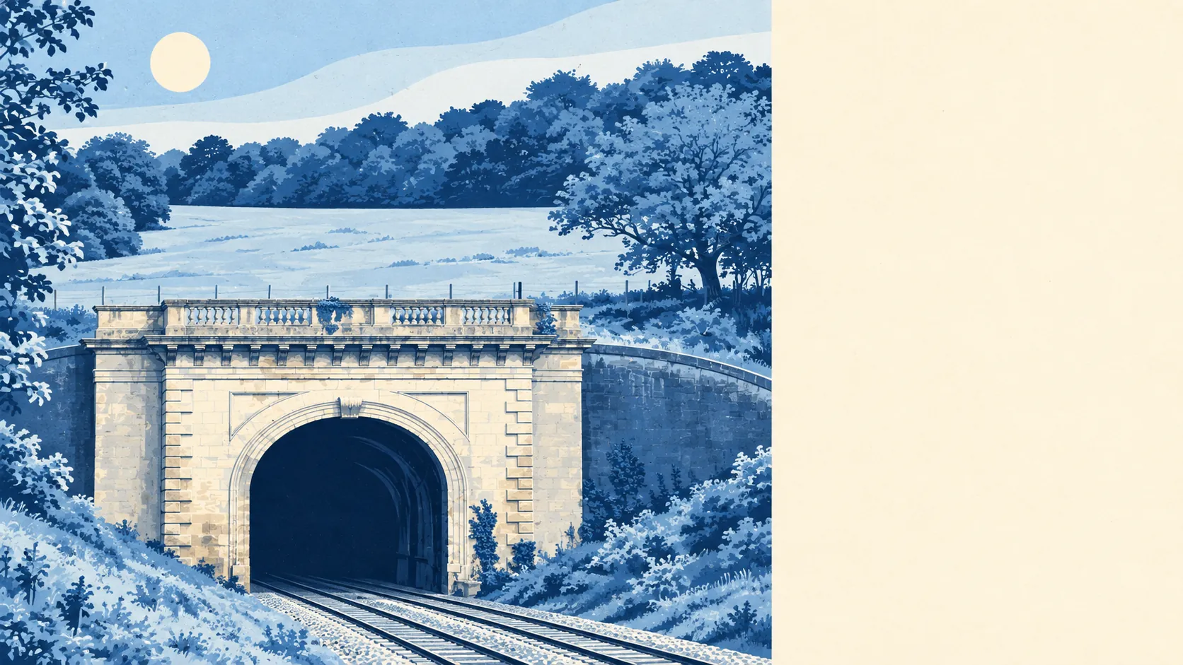
The character comes from stone and from what's underneath it. Box Ground, a hard-wearing Bath stone, was quarried here at mines such as Box Mine, now closed, and the parish is strung out across hamlets like Ashley, Ditteridge, Middlehill, Kingsdown and Hazelbury, each with its own lane and its own opinions about the other ones. A Roman villa lies under the churchyard and gardens near the church, and the Three Shire Stones mark where Wiltshire, Somerset and Gloucestershire meet nearby. To the east, Rudloe runs a different register altogether: a former hamlet now a housing estate, next to the defence establishments on the old RAF Rudloe Manor site. Box is postcard countryside with the working edges left on.
Private gardens are generous. The area has about 324,000 square metres of private garden per 1,000 residents, a measure of how much outdoor space people actually own rather than how much farmland surrounds them. A lawn big enough to lose a dog in is standard issue.
The rating list confirms Box is not a shopping destination. There are 60 rateable business premises in the area, with offices the largest group at 19 and shops next at 6. These are premises on the valuation list, not a count of businesses trading this week. The business district, such as it is, is mostly desks.
Eating out is limited and clean. Of the 8 food premises rated, about 88% hold the top hygiene score and none sit at the bottom. Choice is short. Standards are not.
The surroundings are one of Box's real strengths: green space and water within a short walk of almost every home, a protected landscape round all of it, and gardens that make the lack of a high street easy to forgive.